
According to a report by Xylem Vue, these systems must be integrated as operational platforms within water management frameworks, automatically linked to the activation of emergency plans, municipal protocols, and interagency decision-making processes.
Floods do not cause severe damage due to a lack of data. They cause it because there is not enough actionable time to make decisions and respond.
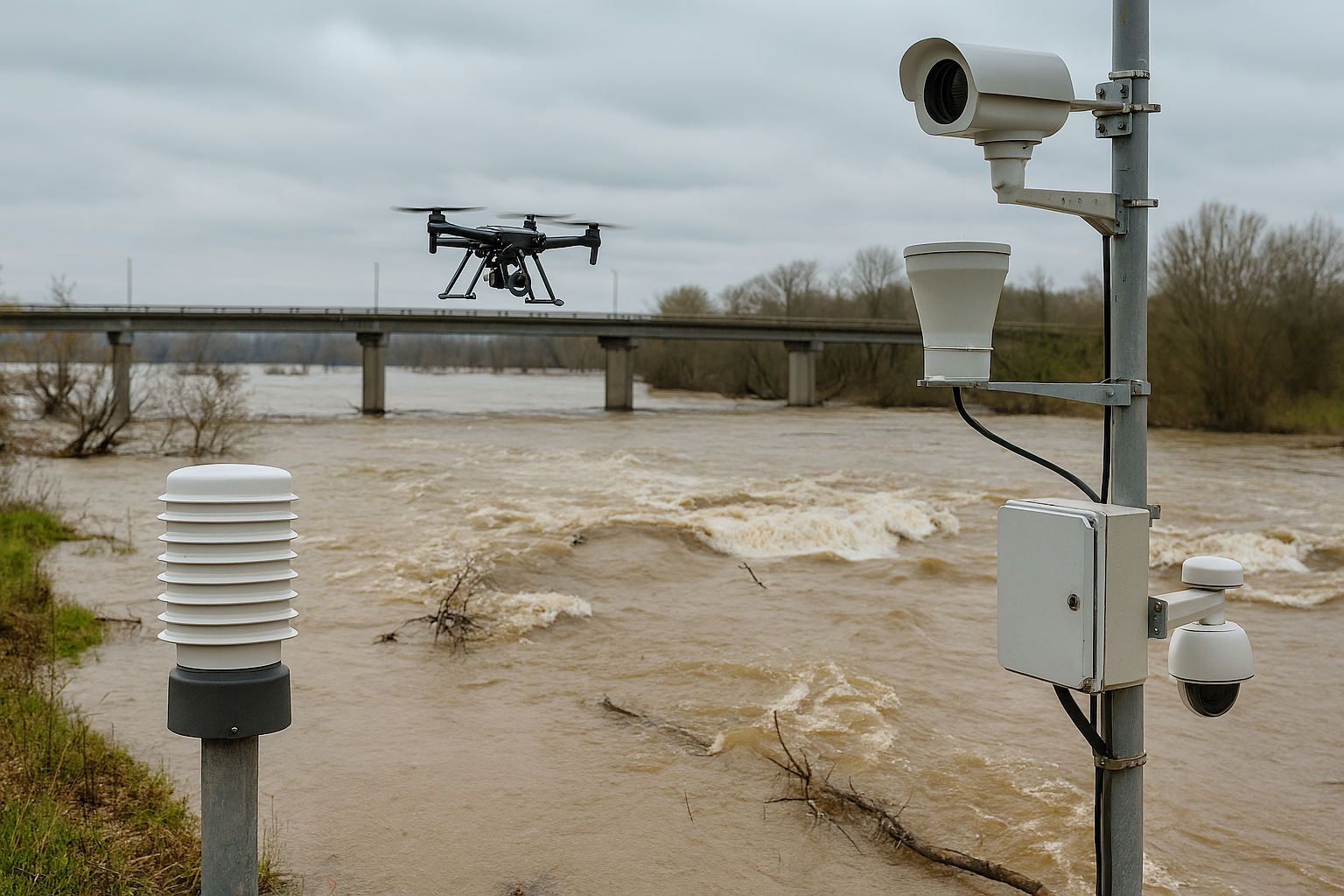
May 14, 2026. Far from being understood as simple alert platforms, Early Warning Systems (EWS) must urgently evolve into operational systems for flood and extreme event management. This is highlighted by the specialists behind the report Water Technology Trends 2026: A Strategic Guide to the Future of Smart Water, recently released by Xylem Vue.
Extreme rainfall events are becoming more frequent, more intense and, above all, more difficult to anticipate using conventional models: floods do not cause severe damage because of a lack of data. They cause it because there is insufficient actionable time to make decisions and respond. It should also be noted that floods are the most common natural disaster worldwide, and according to a report by the World Meteorological Organization, providing at least 24 hours of advance warning can reduce impacts by approximately 30%.
In this context, EWS have traditionally been understood as systems capable of issuing alerts once an event is already occurring. However, according to the study, this approach is clearly insufficient. Issuing alerts is not the same as anticipating events, and anticipation is not the same as automatically activating response and protection protocols.
A modern Early Warning System must first and foremost function as an operational risk management platform. In this regard, Sergio Morant, EWS Specialist at Xylem Vue, explains that these systems “cannot be limited to indicating that a level has exceeded a threshold. They must be capable of translating that information into concrete consequences for the territory and, more importantly, automatically linking it to the activation of emergency plans, municipal protocols and interagency decisions. The true value of the system does not lie in the data itself, but in the action it triggers.”
These systems are therefore integrated predictive engines embedded within digital twins that must connect data, models, administrative coordination and a culture of prevention within a single ecosystem. This integration is what enables organizations to gain time, optimize resources and ultimately protect lives and critical infrastructure in an increasingly adverse and demanding climate scenario.
INTEGRATED WITHIN A LIVING DIGITAL TWIN AS A DECISION-MAKING PLATFORM
By 2026, it no longer makes sense to conceive EWS as isolated tools activated only during a specific extreme event. Their logical place is within a living digital twin, continuously fed by real-time data, multiple weather forecasts and ongoing simulations. In this way, as Sergio Morant explains, the system “stops being limited to intermittently monitoring present conditions and instead continuously projects the future operational planning of the system.”
It is the mechanism that drives the digital twin forward in time, continuously executing predictive scenarios, recalculating hydrodynamic responses every few minutes, and assimilating simulation outputs with observed field data to reduce deviations from measured reality and minimize uncertainty in subsequent forecasts.
According to Xylem Vue, this simulation capability connects planning, operations and risk management within a single coherent environment, transforming the digital twin into a real-time decision-making platform capable of activating resources, prioritizing actions and coordinating agencies with sufficient advance noticee.
CONTINUOUS HYDROLOGICAL AND HYDRAULIC MODELING ACROSS WATERSHEDS
This paradigm shift requires placing hydrodynamic knowledge at the center of the system. In Spain, for example, Areas of Potential Significant Flood Risk (APSFRs) have been delineated for years, but delineation does not necessarily equate to understanding.
The actual response of a watershed to an intense convective event depends on dynamic factors: effective concentration times, prior soil saturation, urban development patterns, interaction with drainage networks, natural or artificial attenuation effects, and downstream propagation. Without continuous, updated and automated hydrological and hydraulic modeling, the operational understanding of these areas remains incomplete.
STRUCTURAL CHANGE
For utilities, cities and water management agencies, this convergence represents a structural transformation. It means moving from reactively managed infrastructure to anticipatory systems capable of estimating impacts before they materialize. It means reducing damage not only through greater precision, but also through faster analysis and stronger institutional coordination. Above all, it means transforming accumulated hydrodynamic knowledge into real operational capability.